
At Puntan Flores, on the northern hip of Saipan where the land slopes gently into the blue lagoon, Japanese workers laid down seaplane ramps and drainage troughs. While published military histories long recorded the start of work as 1934, photographs discovered in Japanese archives reveal construction was already underway as early as 1931. They built them to last, mixing stone and sand with a deliberate care that stands in sharp contrast to the hasty, expedient military works thrown up across the island in early 1944. Walk through Lower Base today—past the hum of the power plant and the tangle of tropical scrub—and you can still find those drains. They are clear and level, and after nearly a century of salt air and torrential rain, they carry water away precisely as they were drawn to do.
At a history conference in the Marianas, David G. DeFant, archaeologist , presented his research on the site. He described the concrete drainage network as remarkably simple, well-engineered, and resilient. Those early structures belonged to a different mind, and a different, slower tempo of living.
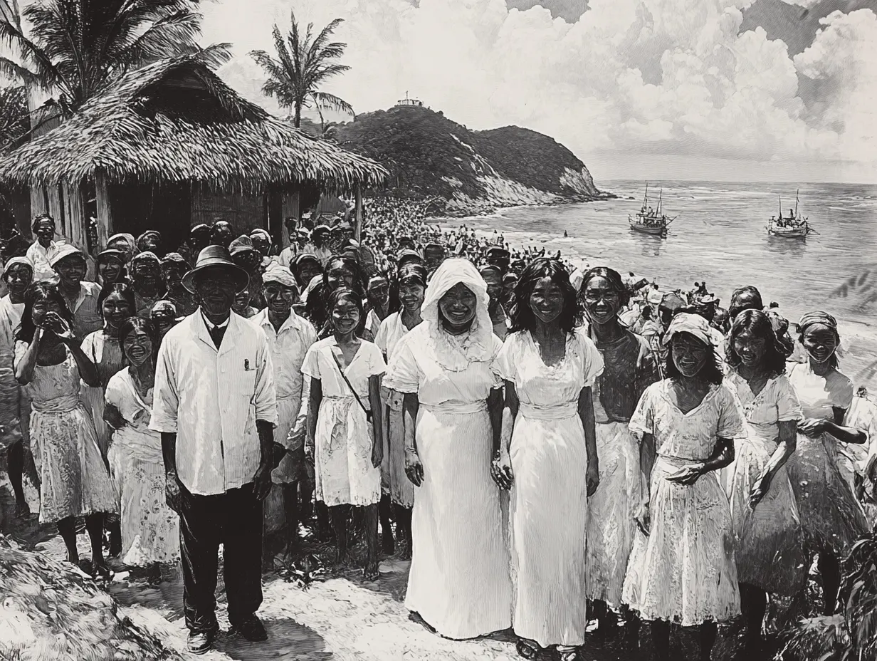
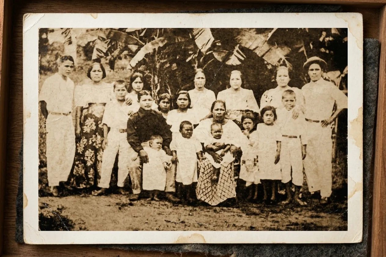
History in this corner of the Pacific is usually told in sudden, violent bursts, but the story of Puntan Flores began in simple prose. Under the League of Nations mandate, the port was already humming with commerce. Sugar brought people—tens of thousands of Okinawan families moving south to work the fields, until the foreign population swelled from a couple hundred under the Germans to nearly sixty thousand.
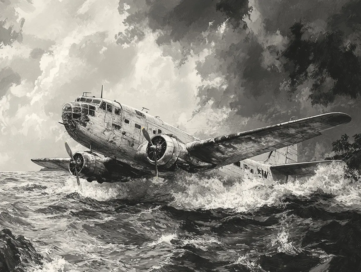
When the seaplane base was laid out, it served a dual civilian and military purpose. Irregular civilian flights operated by Dai Nippon Koku began in 1935, and by 1939 regular service connected Yokohama, Saipan, and Palau. Subtle arguments flared in Geneva and Washington about whether Japan was surreptitiously militarizing the islands, prompting Tokyo to walk out of the League. Yet on the ground at Puntan Flores, the masonry remained thorough and orderly.
Then the rhythm shifted. Around 1939, formal militarization accelerated. What had been a single concrete ramp grew into a sprawling complex of sixty-five buildings—steel hangars, underground magazines, fuel bunkers, and air-raid shelters. With the outbreak of the Pacific War, commercial air routes expanded further out to Chuuk, Pohnpei, and Jaluit.
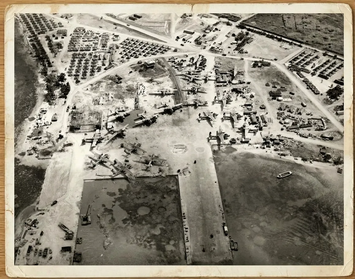
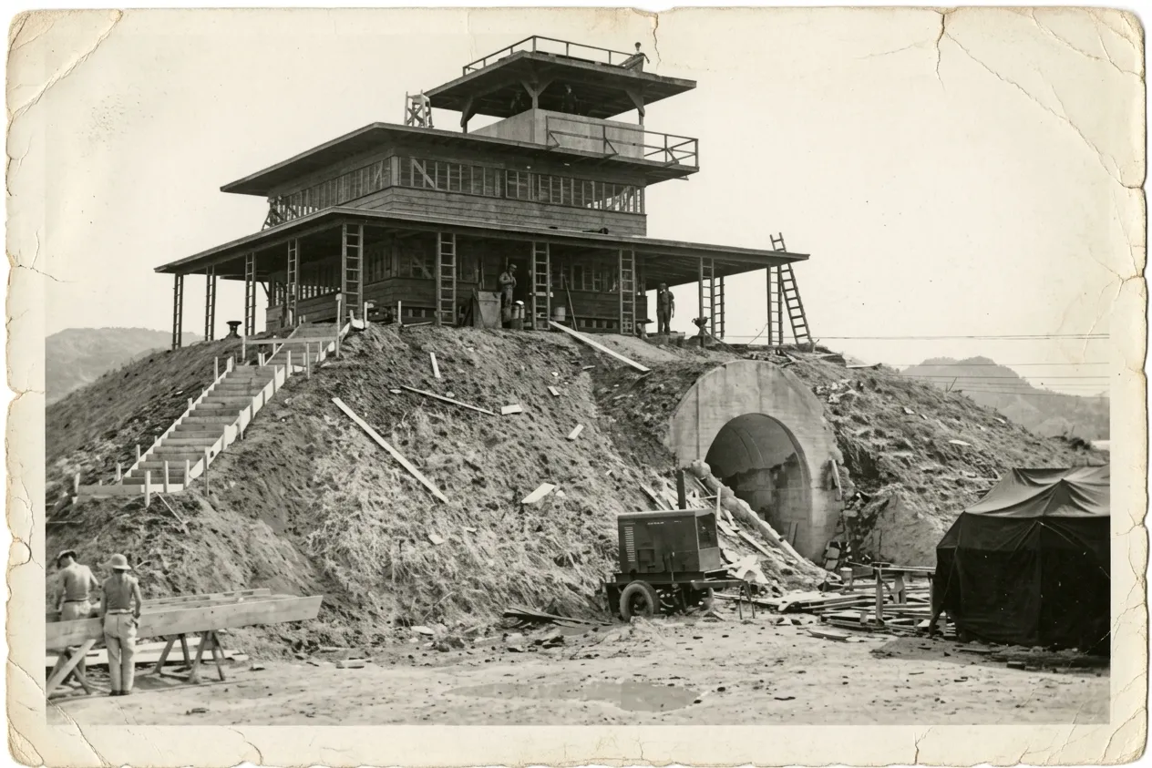
When the invasion came in June of 1944, the island changed hands, but the geography remained stubbornly useful. The Americans took Puntan Flores, widened the aprons to hold their heavier aircraft, and converted a heavy concrete fuel bunker into the base for their control tower. Between 1952 and 1962, when the U.S. Navy Technical Training Unit operated an installation on the heights of Capitol Hill, the coastal plain below inherited the plain name it carries today: Lower Base.
DeFant noted that almost everything known about Puntan Flores comes from U.S. military intelligence dossiers—documents that reduce complex human landscapes to targets, fuel capacities, and troop strength. They leave out the Japanese engineers who calculated the pitch of those drains, and the local Chamorro and Carolinian hands who helped haul the aggregate under a hot sun.
It is easy to look at an overgrown strip of concrete and see only a ruin. But stand by the water's edge at Puntan Flores long enough, past the industrial clutter, and you realize you are looking at a quiet ledger of human ambition. The wars came and went, the empires dissolved, and the military facilities departed. What remains, half-buried under the vines, is the smooth, solid curve of an old drainage ditch—still straight, still square, and still doing its modest job, waiting for the rain.
comments
00